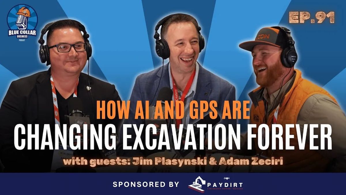
When excavators saturate the system with massive, multi-block requests for minor digs, the entire ecosystem stalls, pushing schedules out by days and trapping crews in costly holding patterns. In this episode, we sit down with Adam Zeciri of Subterranean Consulting Group and Jim Plasynski of KorTerra, who co-chair the Common Ground Alliance technology committee, to map out the high-stakes reality of utility locate management.
We get into the technical mechanics of subsurface investigation, moving past standard electromagnetic locators to break down how ground penetrating radar handles shifting soil densities and where acoustic frequencies pick up the slack on untraceable plastic lines. The conversation details the logistical strain of managing the post-infrastructure bill volume surge, the friction caused by 21 states still operating without positive response mandates, and the process of shifting field crews toward high-accuracy GPS data capture. Our guests share a critical reality check on the state of utility documentation, highlighting the fact that perfect digital as-builts do not exist and that maps must be treated as fluid guidelines rather than absolute truth.
When it comes to damage prevention, the technology is only as good as the human process behind it. Buying another shiny software platform won't fix your operational bottlenecks if your front office is blindly calling in thousands of free tickets that overwhelm local locators. Viewers will walk away with a clear blueprint for sizing locate requests accurately, an understanding of the physics limiting underground scanning tools, and a systematic framework for reducing mobilization failures.
More About this Episode
The Silent Crisis Beneath Our Boots: Why the 811 System is Breaking and How Technology Can Fix It
Every day, thousands of construction crews across the country lace up their boots, fire up heavy machinery, and head out to build the infrastructure that keeps our communities running. But before a single bucket bites into the dirt, there is a high-stakes game of telephone that takes place between excavators, utility owners, and contract locators. When that game fails, the consequences are measured in catastrophic delays, thousands of dollars in blown mobilization costs, and, worst of all, severe safety risks to our crews.
Attending the Common Ground Alliance (CGA) Conference and Expo puts the broader ecosystem into sharp perspective. As a contractor, it is easy to view utility locators as the enemy, especially when late locates keep crews standing around doing nothing. However, sitting down with Jim Plasynski and Adam Zeciri, the co-chairs of the CGA Technology Committee, reveals the staggering operational burden pushing the current damage prevention framework to a breaking point.
The reality is that our underground utility infrastructure is facing a silent crisis. The traditional systems designed decades ago are being crushed under the weight of unprecedented modern demand. Fortunately, the solutions to these systemic issues exist today. To fix the ecosystem, the industry must transition away from legacy habits and embrace the next generation of ticket management software, subsurface imaging, and spatial data data collection.
The Operational Strain: The Ticket Volume and Size Epidemic
The passing of the federal infrastructure bill injected roughly $1.3 trillion into civil construction and utility deployment, representing a massive increase over any previous spending package. While this funding means an abundance of installation work for excavators, it has simultaneously overwhelmed the 811 system.
The primary stressor on the damage prevention ecosystem is twofold: an explosion in total ticket volume and an unsustainable increase in the geographic scope of individual locate requests. Ticket management software providers like KorTerra track these metrics nationally, and the data paints a sobering picture of an overtaxed workforce.
Historically, the industry has relied on the total number of 811 tickets as the primary gauge for field workloads. In reality, a single ticket can range from a simple, hundred-foot residential water line markout to an expansive project covering miles of public right of way. Because calling in an 811 ticket is a free service, it is highly susceptible to system saturation. It is a common, destructive practice for administrative personnel to log massive, multi-block project tickets, or to submit hundreds of locates simultaneously on a Monday morning for work that won't take place for weeks.
When a contract locator receives an over-scoped ticket covering an area equivalent to thousands of football fields, they are bound by state laws to complete that massive markout within a rigid 48 to 72 hour window. This dynamic floods the system with unexecutable work, pushing locators behind schedule and triggering a domino effect across the construction sector. Nationally, between 40% and 50% of excavation projects are delayed because locate marks are not completed on time. Mobilizing heavy equipment to a jobsite only to find it unmarked costs contractors thousands of dollars per day in idle labor and transport fees. To alleviate this strain, contractors must become more surgical, utilizing modern ticket management platforms to scope out precise, incremental segments of a jobsite based on actual daily production rates rather than carpet-bombing the system with massive requests.
Decoding the Blind Spots: Public Versus Private Utilities
A significant point of friction between contractors and utility asset owners stems from a fundamental misunderstanding of public versus private utility boundaries. When a standard 811 locate ticket is filed, the public one call center only routes notification alerts to stakeholders who own facilities within the public right of way.
In the vast majority of jurisdictions, the utility company’s ownership and marking obligations terminate strictly at the utility meter or property boundary line. For example, a public water utility will locate the main line in the street and the short lateral leading up to the water meter. Everything extending from that meter to the structural foundation of a residential or commercial building is legally considered a private utility.
This creates immense risk on complex builds. Secondary lines routing to backbuildings, private fire suppression loops, outdoor facilities, and wastewater sewer laterals running out to the municipal tap are completely ignored by traditional 811 contract locators. If an excavator assumes that a clear site means an absence of buried infrastructure, they are highly likely to suffer a utility strike. Mitigating this risk requires a shift toward proactive damage prevention, where contractors actively self-perform site investigations or retain specialized third-party utility locating services to map out private infrastructure long before excavation begins.
The Technologist’s Toolbox: Moving Beyond Electromagnetic Locating
When an 811 locator arrives at a jobsite, their primary tool is an electromagnetic locator, a device that applies an electrical signal to a metallic line and tracks the resulting magnetic field. This process works exceptionally well for steel gas lines, copper water pipes, and shielded electrical cables. However, the modern underground landscape is increasingly dominated by non-metallic materials like high-density polyethylene (HDPE), polyvinyl chloride (PVC), and fiberglass.
Without a properly installed metallic tracer wire running alongside these plastic conduits, standard electromagnetic tools are completely blind. In older municipal regions, millions of miles of legacy infrastructure lack tracer wires entirely. Fortunately, advancements in subsurface imaging technology allow field crews to see through the soil using alternative physical principles.
Ground Penetrating Radar (GPR)
Ground penetrating radar serves as the secondary line of defense for locating non-metallic targets. GPR systems operate by projecting pulsed, high-frequency electromagnetic waves directly into the subsurface and recording the reflections that bounce back to an antenna receiver.
When the radar wave transitions between mediums of differing densities, it registers a change in the relative permittivity, or dielectric constant. As the GPR cart is pushed across the ground, buried pipes and conduits appear on the operator's interface as distinct, hyperbolic curves. While highly effective, GPR is not a magic bullet; its success is heavily dictated by localized soil chemistry. High-frequency signals provide high-resolution imaging for small, shallow utilities down to approximately five feet, but they attenuate rapidly in heavy clay soils, saturated ground, and environments rich in salts or nitrates. Conversely, dry, sandy soils allow GPR signals to penetrate significantly deeper, proving that a tool's performance can vary drastically from one side of a city to another.
Acoustic Locating Technology
When soil physics renders both electromagnetic and radar tools ineffective, acoustic locating technology provides a reliable alternative. Acoustic locators function by introducing low-frequency mechanical vibrations, typically between 50 and 200 Hz, directly into a fluid-carrying or hollow pipe string.
As these sound waves propagate down the length of the plastic or transite pipe, they radiate sound energy upward through the soil matrix. A field technician utilizes a highly sensitive ground microphone, known as a geophone, to scan the surface profile. By pinpointing the exact coordinates displaying the highest sound amplitude, operators can accurately mark the centerline of deeply buried, non-metallic lines that cannot be detected by any other means.
The Legacy Map Trap and the Power of Spatial Data Capture
One of the greatest systemic vulnerabilities in utility management is our cultural reliance on flawed historical records. When asset owners upload utility locations into Geographic Information System (GIS) databases, that digital information is often derived from historic records hand-drawn on napkins decades ago.
Over a thirty-year timeline, two-lane rural roads are expanded into six-lane corridors, property boundaries shift, and original physical landmarks disappear. A digital GIS map line is merely a loose guideline; it indicates that a utility may exist in the general vicinity, but it does not guarantee spatial accuracy. Furthermore, because utilities have historically been reluctant to share proprietary mapping data due to liability and security concerns, the industry continues to lose vital spatial intelligence. Millions of dollars are spent every year paying crews to repeatedly relocate and paint the exact same coordinates because the field data is never permanently captured.
To break this loop, the industry is adopting advanced mobile mapping solutions, such as VGIS. By combining a standard smartphone or tablet interface with LiDAR sensors, internal software, and external Real-Time Kinematic (RTK) GPS rovers, field personnel can electronically capture fresh utility installations as they happen.
This process records full metadata profiles, including the exact three-dimensional coordinates, the locate frequencies utilized, and the time-stamped visual evidence. This data can feed directly into electronic boundary zones or digital geofences. When integrated into the control software of modern excavation machinery, these digital boundaries can automatically restrict or lock out hydraulic operations when a backhoe bucket approaches a known, high-risk utility corridor, creating a software-driven layer of protection.
Forging a Standard Framework for the Road Ahead
The path toward a safer, more predictable jobsite requires structural, standardized evolution across state lines. Currently, the damage prevention framework is highly fractured. While some progressive states feature interconnected permitting processes, comprehensive digital map sharing, and strict enforcement mechanisms, over twenty states still lack legislative mandates for positive response systems, which require locators to provide documented confirmation to excavators once a site is cleared.
On a federal level, the Department of Transportation’s Code of Federal Regulations (CFR) Title 49, Part 192, establishes strict Operator Qualification (OQ) mandates for personnel performing maintenance on interstate oil and gas pipelines. However, there is no overarching federal requirement governing the minimum training or field hours required for general utility locators.
To bridge this regulatory gap, municipalities and contractors are increasingly aligning themselves with independent accreditation standards, such as the National Utility Locating Contractors Association (NULCA) training guidelines, which directly mirror the best practices promoted by the CGA.
As business owners, project managers, and field builders, we cannot treat utility safety as an afterthought or a line-item liability to be managed through insurance claims. We must actively participate in regional legislative updates, eliminate the habit of over-scoping locate requests, and invest heavily in modern field training and technology. The software, hardware, and data collection tools required to protect our crews and infrastructure are fully available today. It is up to us to put them to work.

Member discussion: